
The limited water supply in Glapansari Village, Parakan District, Temanggung Regency, has long been a critical issue, restricting the community’s agricultural commodity choices. Most farmers are only able to cultivate tobacco as their primary crop, despite unpredictable yields caused by price fluctuations and a trading system that often disadvantages them. In response to these conditions, farmers have begun taking the initiative to diversify their crops by planting various types of vegetables that offer more stable economic potential. However, the development of such horticultural crops requires an adequate and sustainable water supply to support optimal growth.
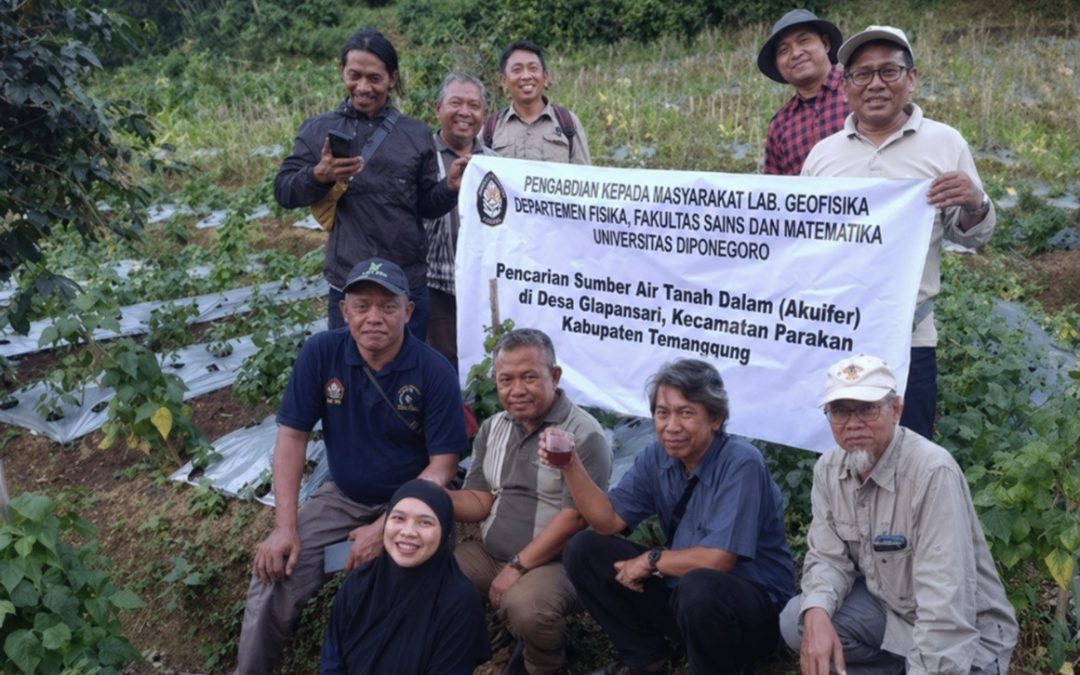
As a tangible contribution to addressing this issue, the Geophysics Outreach Team from the Faculty of Science and Mathematics (FSM) at Diponegoro University, in collaboration with the Muhammadiyah Tobacco Control Center of Muhammadiyah University of Magelang, conducted a community service program in Glapansari Village on April 8, 2026. The team consisted of several geophysics academics: Dr. Eng. Udi Harmoko, S.Si., M.Si.; Prof. Dr. Gatot Yulianto, S.Si., M.Si.; Dr. Drs. Tony Yulianto, M.T.; Dr. Drs. Muhammad Irham, M.T.; and Dr. Ir. Sugeng Widada, M.T.
During this program, the team employed a geophysical approach to identify potential subsurface water resources, specifically through the Horizontal-to-Vertical Spectral Ratio (HVSR) method. HVSR is a technique that calculates the ratio between the horizontal and vertical components of seismic recordings. Introduced by Yutaka Nakamura in 1989, it is used to estimate resonance frequencies and geological amplification factors based on microseismic data. This method is typically applied to three-component passive seismic data (microtremors), yielding natural frequency and amplification values as its primary parameters. As explained by Hrvoje Herak (2008), these two parameters are closely linked to subsurface physical characteristics, making them effective for identifying local geological conditions.
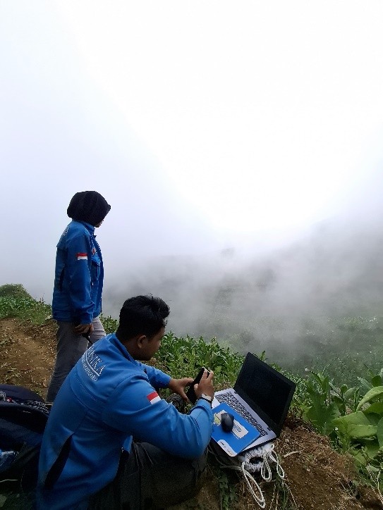
Furthermore, the comparative analysis of shear wave velocity ($V_s$) and compressional wave velocity ($V_p$) in the Earth’s subsurface layers is utilized to calculate the Poisson’s ratio, which serves as a vital indicator for detecting the presence of water. A higher Poisson’s ratio typically indicates a greater likelihood of water content within a specific layer. Based on the microtremor measurements conducted in Glapansari Village, a potential aquifer was identified at measurement point 1C at a depth of approximately 60–145 meters, suggesting the presence of a confined aquifer beneath the surface.
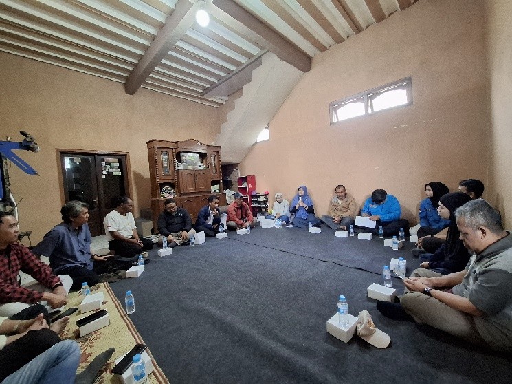
These findings demonstrate that the area possesses significant groundwater potential that can be utilized as a solution for clean water provision. Additionally, the study reveals that the potential of rock layers to serve as aquifer sources in this area is substantial, allowing for more accurate identification through the HVSR-based microtremor method combined with Poisson’s ratio analysis. Through this outreach program, the team not only provides science- and technology-based solutions for water exploration but also opens opportunities for the community to develop more diverse, adaptive, and sustainable agricultural systems. It is hoped that improved water availability in the future will enhance land productivity and the overall welfare of the farmers in Glapansari Village.