
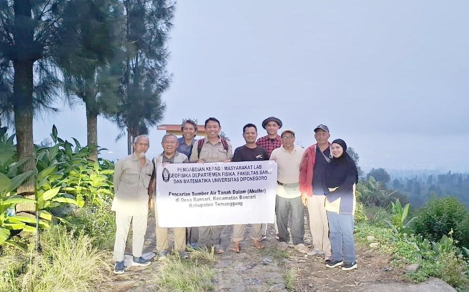
Temanggung, April 8, 2026. The Community Service Team from the Department of Physics, Faculty of Science and Mathematics (FSM), Diponegoro University, conducted a groundwater aquifer mapping activity in Bansari Village, Temanggung Regency, utilizing the Horizontal to Vertical Spectral Ratio (HVSR) microtremor method. This initiative was aimed at supporting clean water provision and strengthening horticultural productivity, aligning with the Sustainable Development Goals (SDG 2 and SDG 6).
The outreach team involved in this activity consisted of members from the Department of Physics, FSM Undip: Dr. Rina Dwi Indriana, S.Si., M.Si.; Prof. Dr. Drs. Rahmat Gernowo, M.T.; Prof. Dr. Agus Setyawan, S.Si., M.Si.; and Muhammad Fahmi, S.Si., M.Si. Conducted in collaboration with the Muhammadiyah Tobacco Control Center (MTCC) of the Muhammadiyah University of Magelang (UNIMMA), the program took place in Bansari Village, Bansari District, Temanggung.
Located on the slopes of Mount Sindoro, Bansari Village faces the challenge of limited water supply, particularly during the dry season. This situation impacts domestic water needs and restricts agricultural development. As noted in the activity report, the shift in planting patterns from tobacco to vegetable commodities has increased the demand for a more stable water supply to support plant growth and the sustainability of community farming.
To address these needs, the team utilized the HVSR microtremor method—a passive and non-destructive geophysical technique that records natural ground vibrations. This method is used to analyze subsurface characteristics, including the estimation of seismic wave parameters such as primary wave velocity ($V_p$) and secondary wave velocity ($V_s$). These parameters are then used to identify subsurface layers that are potentially water-saturated or function as aquifers.
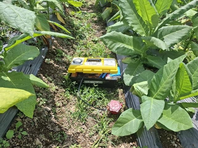
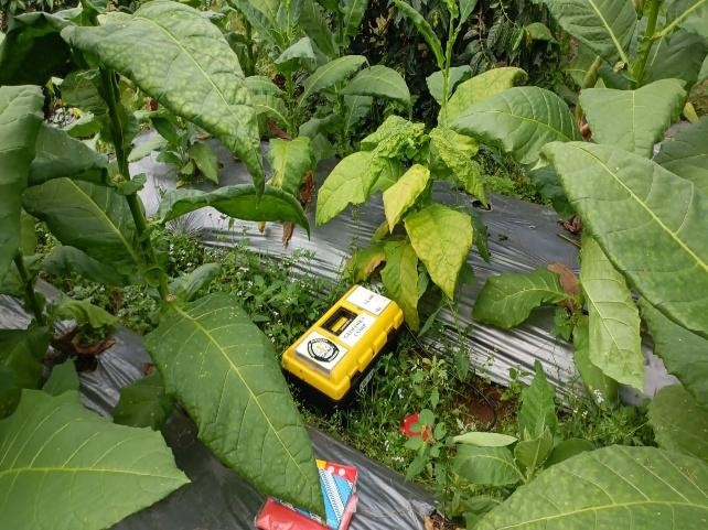
From a hydrogeological perspective, the Bansari region is situated within the Magelang–Temanggung Groundwater Basin System, dominated by volcanic deposits such as lava and pyroclastics that have the potential to function as aquifers. Consequently, mapping groundwater potential is considered essential as a basis for sustainable water management planning, for both domestic needs and agricultural irrigation.
The activity commenced with a field geological survey to understand the geomorphological conditions and surface lithology, while simultaneously determining representative measurement points with minimal artificial vibration interference. The acquired microtremor data were then processed at the Undip Geophysics Laboratory through stages of quality control, signal window selection, spectrum calculation, HVSR curve construction, and subsurface profile interpretation. The study’s findings were subsequently compiled into technical recommendations for the community and local stakeholders.
According to the results documented, the team identified several points with potential as aquifer zones. Aquifer potential was indicated at several locations within the Bansari area at depths of approximately 30–85 meters.
This initiative demonstrates that geophysical approaches can provide a tangible contribution to strengthening village water resilience. Besides assisting the community in identifying potential groundwater sources, the mapping results serve as a preliminary basis for determining further survey locations or more effective and efficient drilling sites. In a broader context, this activity supports sustainable access to clean water and the development of agriculture that is more adaptive to drought conditions.